
China is one of the largest countries in the world, covering a vast area of East Asia along the western coast of the Pacific Ocean. With an enormous territory stretching across different latitudes and longitudes, China’s geography is remarkably diverse, shaping not only its landscapes but also the lifestyles of its people.
From the frozen forests of the north to tropical coastlines in the south, and from towering mountains in the west to fertile plains in the east, China presents an extraordinary variety of natural environments.
Physical Features of China
China’s landforms mainly include plateaus, mountains, plains, basins, and foothills. Mountains and highlands account for nearly two-thirds of the country’s total land area, forming a terrain that is generally higher in the west and lower in the east.
This unique pattern is often described as a three-step staircase:
- The First Step
The highest level is the Qinghai-Tibet Plateau, with an average elevation exceeding 4,000 meters. Known as the “Roof of the World,” this region is home to the world’s highest peak, Mount Everest. - The Second Step
Moving eastward, the land descends into plateaus and large basins, typically between 1,000 and 2,000 meters in elevation. Important regions such as the Loess Plateau and the Sichuan Basin are located here. - The Third Step
The easternmost step consists mainly of plains and low hills, with elevations generally below 500 meters. This area contains China’s most fertile farmland and densely populated regions.
Regional Divisions
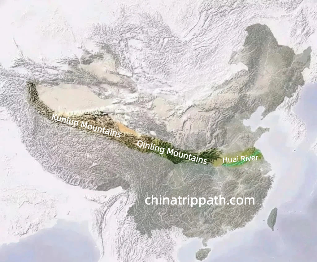
Geographically, China is commonly divided into four major regions: North China, South China, Northwest China, and the Qinghai-Tibet region. Each region has distinct natural conditions, influencing local climate, agriculture, and cultural traditions.
The Qinling Mountains and the Huai River form a natural boundary between northern and southern China, separating different climates, crops, and lifestyles.
Rivers and Lakes
China has an extensive network of rivers and lakes, many of which play a vital role in transportation, agriculture, and daily life.
- The Yangtze River, the longest river in Asia, flows eastward into the Pacific Ocean.
- The Yellow River, often called the cradle of Chinese civilization, has supported human settlement for thousands of years.
- Major lakes such as Qinghai Lake, Poyang Lake, and Dongting Lake contribute to freshwater resources, fisheries, and local ecosystems.
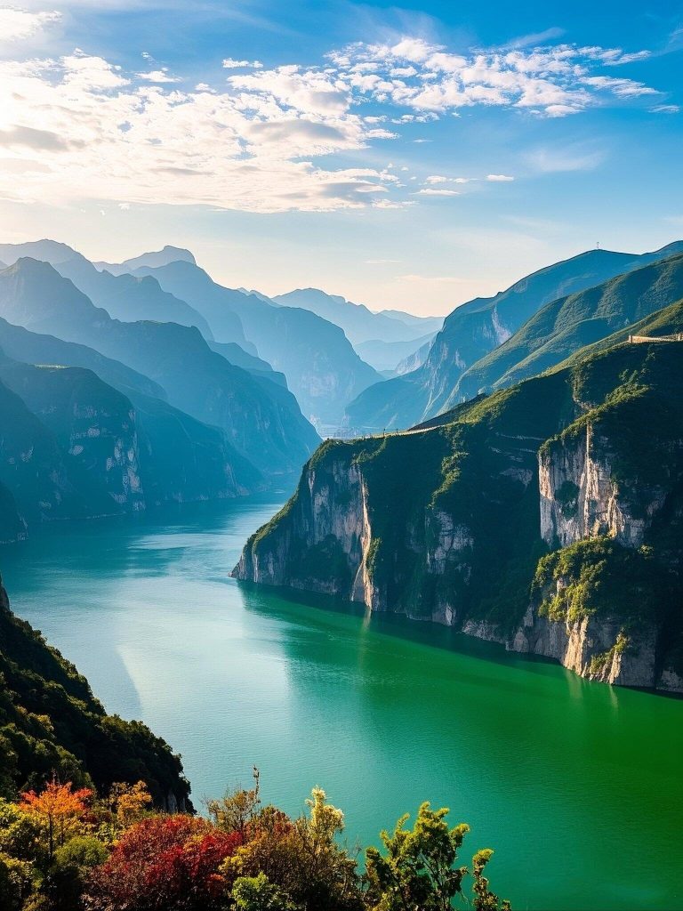
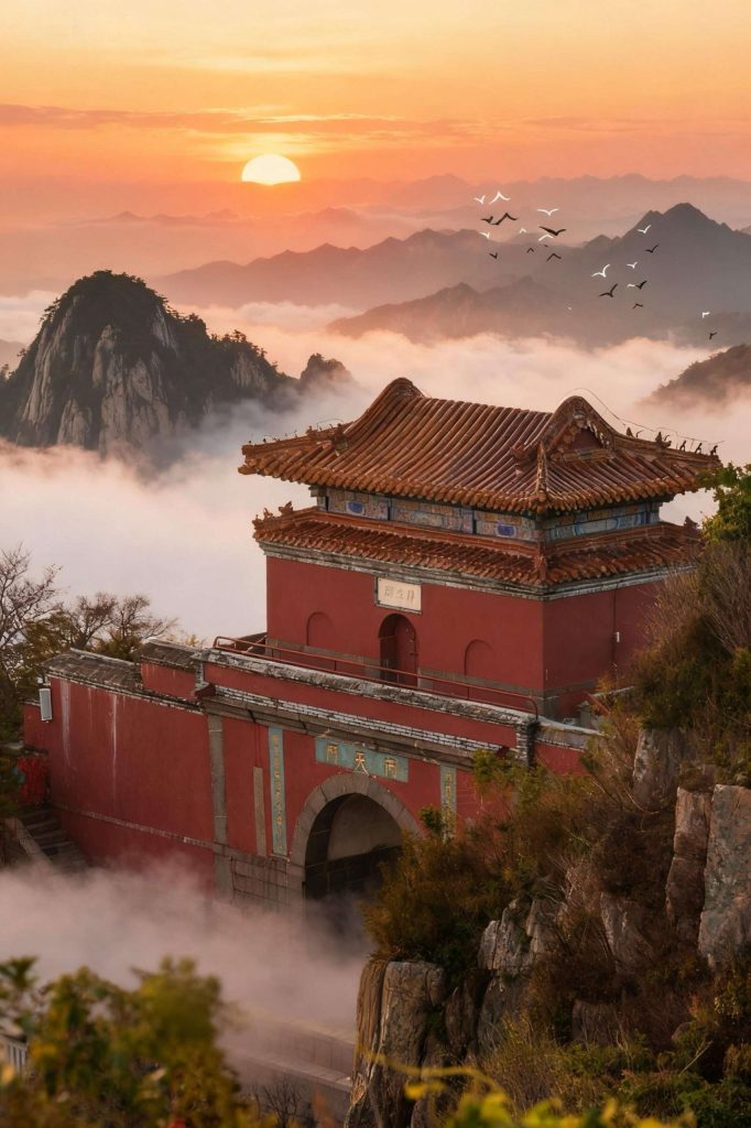
Mountainous Landscapes
Mountains dominate much of China’s western and central regions. Some of the world’s highest mountain ranges, including parts of the Himalayas, lie within China’s borders. In eastern China, lower mountains such as Mount Taishan, Mount Huashan, and Mount Emei are famous for their cultural and scenic significance.
These mountainous areas not only offer breathtaking landscapes but also preserve rich biodiversity and valuable natural resources.
How Geography Shapes Travel in China
China’s varied geography creates an equally diverse travel experience. From high-altitude plateaus and desert basins to river valleys and coastal plains, travelers can explore dramatically different landscapes within a single country. Understanding China’s geography helps visitors better plan routes, choose destinations, and appreciate the deep connection between nature, history, and culture.